In the Category map
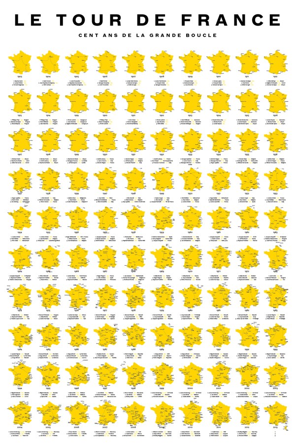
100 Years
Posted July 9th, 2013 at 4:29 pm. There are 0 comments.
100 Years of the Tour de France by Sam Potts
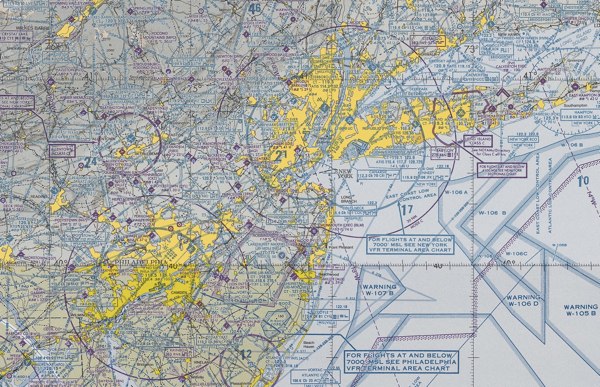
VFRMAP
Posted April 23rd, 2012 at 11:47 am. There are 0 comments.airport runways
Posted January 24th, 2012 at 11:48 am. There are 0 comments.
Runway Series. Prints of international airport runway layouts from NOMO/SHOP
un-united states
Posted February 28th, 2011 at 6:37 pm. There are 0 comments.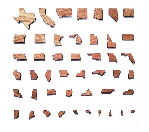
via Mark Weavers flickr
new york city department of transportation pothole blog
Posted February 18th, 2011 at 4:39 pm. There are 0 comments.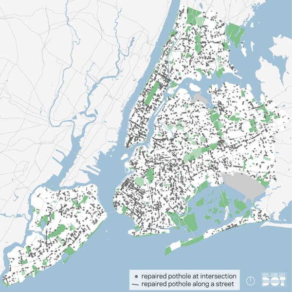
All the potholes fixed in the last month, from January 16 to February 15
the daily pothole features daily counts of potholes fixed and lots of action shots of potholes getting repaired. potholes.
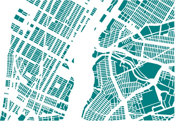
cities reorganized
Posted February 9th, 2011 at 1:48 pm. There are 0 comments.
French artist Armelle Caron deconstructs city maps and reorganizes them into neat and tidy rows.

8-bit cities
Posted February 4th, 2011 at 1:22 pm. There are 0 comments.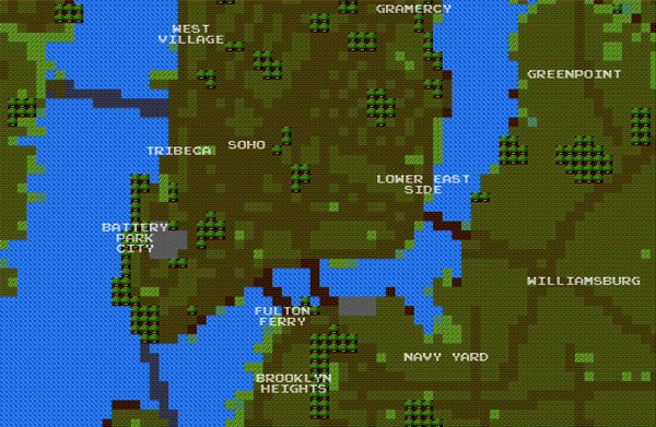
8-bit City is an awesome Kickstarter funded project by Brett Camper. Videogame graphic inspired slippy maps built on top of Openstreetmap data.
The 8-Bit Cities project, which started with 8-Bit NYC, is an attempt to make the city feel foreign yet familiar, smashing together two culturally common models of space: the lo-fi overhead world maps of 1980s role-playing and adventure games, and the geographically accurate data that drives today’s web maps and GPS navigation. I hope to evoke the same urge for exploration, abstract sense of scale, and perhaps most importantly unbounded excitement that many of us remember experiencing on the Nintendo Entertainment System, the Commodore 64, or any other number of 8-bit microcomputers. Maps offer us visual architectures of the world, encouraging us to think about and interact with space in particularly constrained ways. Take some time to think about your surroundings a little differently. Set out on a quest. Be an adventurer
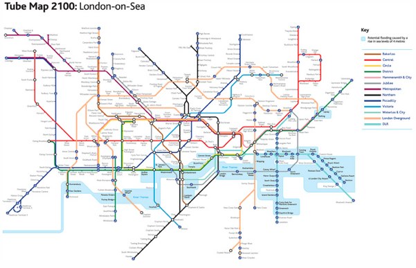
London-on-Sea
Posted December 13th, 2010 at 12:52 pm. There are 0 comments.Practical Action has a slightly modified London tube map showing the impact of rising sea levels predicted for the the year 2100.
via bldgblog
is this the new google maps ui
Posted December 3rd, 2010 at 5:33 pm. There are 0 comments.Check out that sweet ‘other’ view option window in the upper right.
via 41 latitude
maps of luis dourado
Posted November 29th, 2010 at 3:38 pm. There are 0 comments.
Untitled Map #3 by Luis Douradro
[ iamtheweather powered by Wordpress And is definitely Not Plastic Bag ]
